
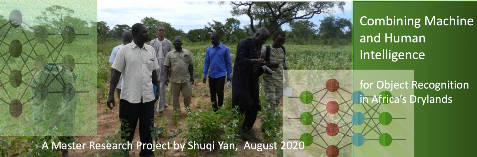


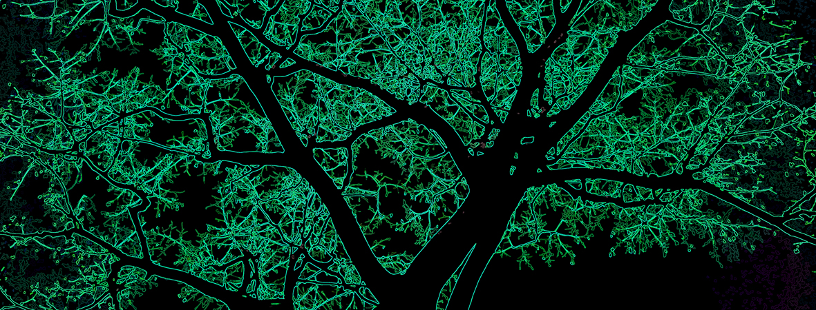
Shuqi Yan did her master research project on an “AI for Sustainable Development in Africa” project. Machine learning for the interpretation of land use and object recognition on satellite images is a technique which is already widely used, given the large availability of open access satellite imaging and the popularity of data science and artificial intelligence in recent years. Interpretation of remote sensing images is facilitated by the large availability of high resolution maps and description of lands and soils in highly organized environments.
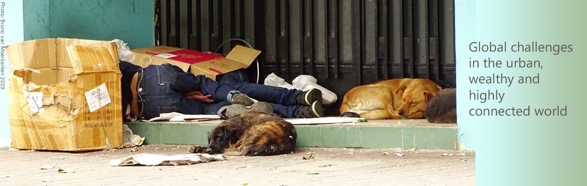
In low resource environments, this is a different story. Often, a detailed description of soils and objects in the field is still lacking. Detailed field studies have in general not been carried out in remote rural areas, especially not on the ground. In these contexts, interpretation of satellite images and related object recongition can largely be improved by combining human and computer intelligence, given the fact that recognition and description of objects and patterns in the field may require human knowledge about the local context.
To tackle this interesting problem as an AI for Sustainable Development Challenge, international master student Shuqi Yan, at VU, designed a hybrid system that allows users to evaluate a satellite image and label objects in the field, to create a data store of object descriptions for a given context. Her proposed system combines machine learning algorithms such as convolutional neural networks (CNN) with human knowledge for object recognition, based on knowledge available about the field. She built a user interface that was tested by a number of test users, that allows to enter data about the detected objects. This helps to improve the quality of the machine’s output, for example to better recognize “mixed crops” and relevant other patterns or objects in the field.
The system designed by Shuqi Yan can be used to improve the currently available knowledge resources and enhance and support land management, for example to detect ongoing regreening, or to monitor soil degradation or vegetation loss. For more information read the thesis by Shuqi Yan. [PDF].


