Mr. Jiri is a new mobile app for monitoring tree population in rural environments. Mr. Jiri was newly developed by W4RA to support agro-forestry evaluation of on-farm trees. Mr. Jiri (Mr.Tree in Bambara) was recently co-developed for use in the field by the W4RA team and Malian NGO Sahel Eco. Mr.Jiri speeds up and simplifies the current time-consuming manual tree identification process through an Android Mobile app that allows instant recording of digital pictures, and storing scientific and local names of trees. Aggregated statistical information can be exported from the device in the form of an Excel file to a desktop computer.
The benefits from wide usage of this app can be enormous. Currently it is in a testing stage, but it works. The only thing it lacks is widespread use. Look at this article at askhealth where we list the potential benefits of using this app. Depending on how commonly it is used, and if the data it provides is taking to heart and inform future tree planting, the benefits could be categorized as global in scale. Have a look at this company here and get help with taking care of your trees.

As Mr. Jiri is developed for use in the field, it does not require internet connection or electricity. All map data and
tree knowledge are part of the mobile app. A small solar panel feeds the battery during field data collection.
How Mr. Jiri works
Mr. Jiri locates the user’s position with GPS, and displays this location on a map of the Android device. Placed against
a tree trunk, the app will determine the exact coordinates of a given tree. The type of tree can be selected from a
list. In addition, a photo can be taken, and information can be added both as a text and voice message
instantaneously using the device. The newly entered data is displayed on a map and the next tree can be processed
using the same procedure. After data collection in the field, the data can be uploaded and shared on the Web. Tree
density and bio-diversity can be calculated from the raw field data. A next version of the app will enable estimation
of the tree density on a big surface even more efficiently.
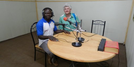
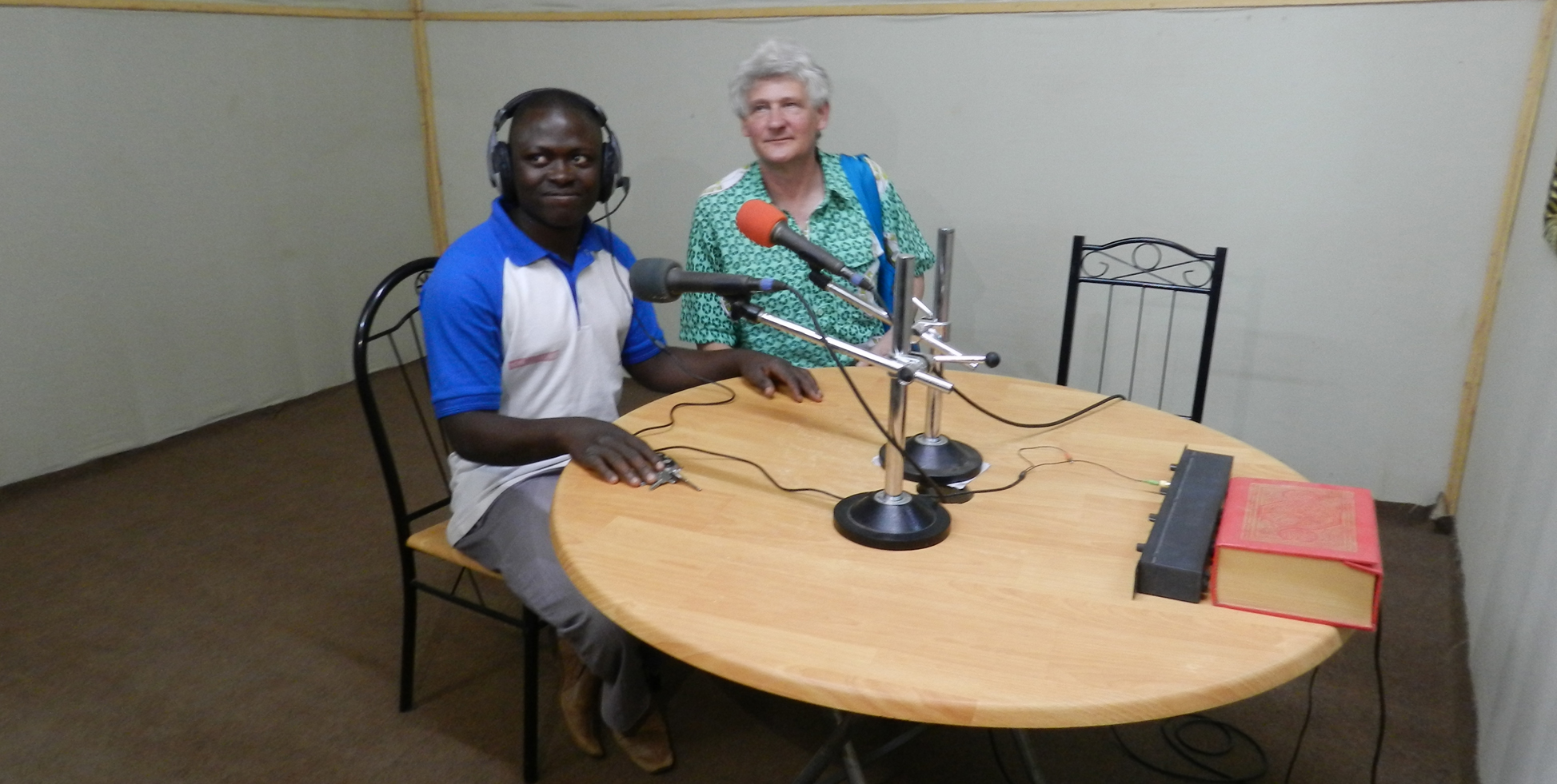
W4RA Trip report


Mr. Jiri is thus used for counting and estimating numbers of trees and tree types, and gives a quantitative indication of
the biodiversity of a given terrain or parcel.
Such mobile apps are complementary to voice-based systems, whereby mobile apps function as local sensors to
collect location based data.
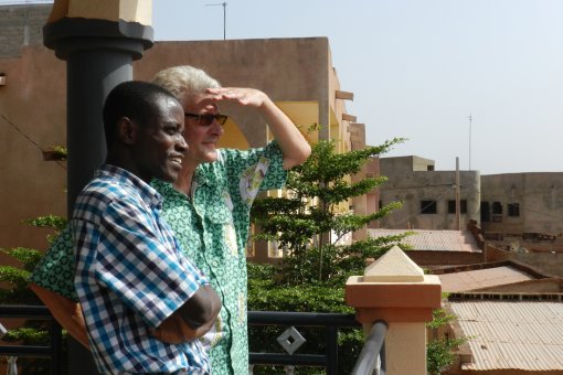
The W4RA team elicited the user needs and requirements for this new mobile app during a Living Lab agroinnovation
workshop in January 2014 in Segou, Mali, where users and ICT developers have worked closely together
to get the best result.


4 thoughts on “Mr. Jiri, an App for Trees”
Hello there – this application sounds marvelous and I would like to know if we may get permission to adapt this for monitoring and evidence building for Farmer Managed Natural Regeneration projects.
This sounds great! The application of geo-spatial technique in tree monitoring is really critical. I wish this would be rolled-out to the FMNR Project Models in the entire partnership.